Crooked Lake Fishing
Nevada County
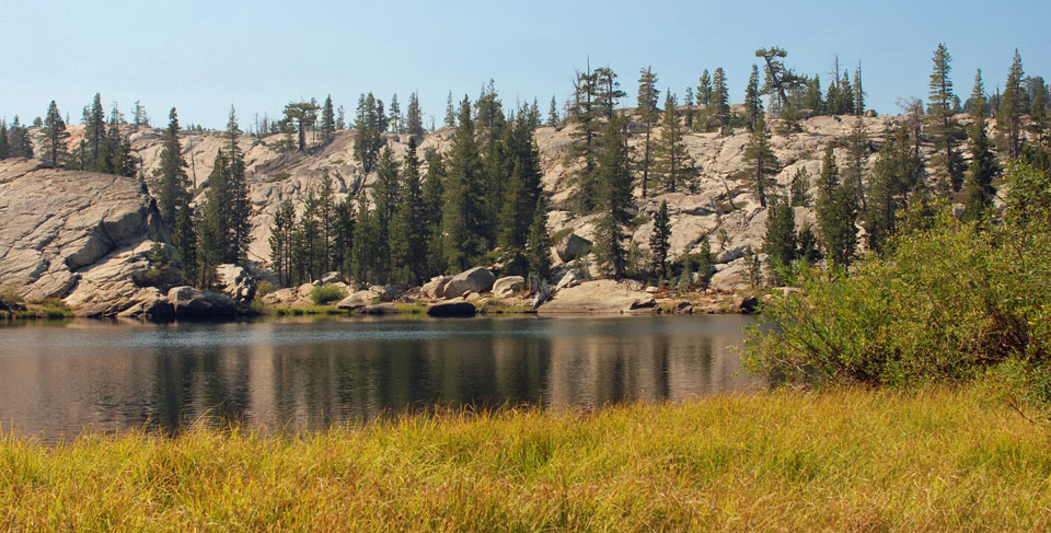
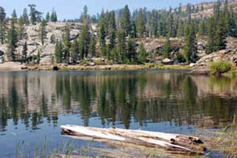
Crooked Lake is tucked in among the rocks away from the main trail in the Grouse Ridge area north of Interstate 80 in northern California. While many of Crooked Lake's neighbors are shallow ponds, Crooked Lake is large enough and deep enough to support good size rainbow and brook trout.
Even though Grouse Ridge is a popular destination for people enjoying the outdoors, most don't wander off trail. The trek to Crooked Lake involves a little cross-country travel, but nothing difficult. You will most likely have the lake to yourself.
Crooked Lake
Sidetrips
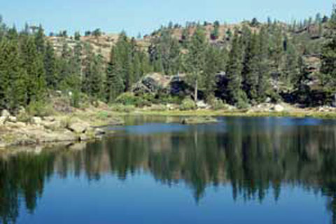
The entire Grouse Ridge area is sprinkled with lakes. Once you enter the region you can fish your way from lake to lake for days without repeating yourself. Other destinations listed in this guide that could easily be reached from Crooked Lake are shown below.
Staying on the right route while moving from lake to lake can be tricky in the Grouse Ridge area, especially if you strike out cross country. Carry good maps and a compass or a reliable GPS.
Nearby Featured Trips in Nevada County:
- Fordyce Creek - approached from Eagle Lakes or Lake Spaulding
- Glacier Lake - fish for golden trout in the Grouse Ridge area
- Lower Lola Montez Lake - easy hike from I80 near Donner summit
- Milk Lake - excellent fly fishing only a mile from the parking lot
- Penner Lake - one of the best fishing lakes in Grouse Ridge
- Round Lake - a quiet little lake you will probably have to yourself
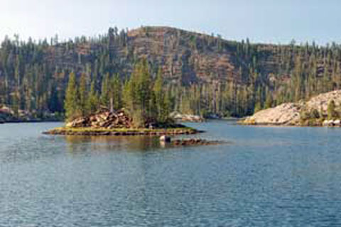
Island Lake
In My Creel
- 1/6 oz. Thomas Buoyant
- Super Duper
- Yakima Rooster Tail
- salmon eggs
- Berkley Power Bait
- Mike's Glitter Mallows
I tried a variety of lures and baits while fishing at Crooked Lake.
Shop Amazon for
Trout Fishing Best Sellers
Trout Fishing Best Sellers
Recommended Books and Lures for Fishing Grouse Ridge
- Top Trails: Sacramento: Must-do Hikes for Everyone, Steve Evans. Covers hikes from California's Sacramento Valley to the Sierra, including a section on Grouse Ridge.
- High Sierra Fishing, Basics to Advanced Tactics, Billy Van Loek. This is the book I go back to again and again to improve my fishing technique in the high Sierra.
- Fly Fishing Trout Flies | Essential Flies for Trout | Hand-Tied Dry Flies, Nymphs, Streamers 32 of the most proven Trout flies, well-known for their timeless fish-catching effectiveness.
- California's Best Fly Fishing: Premier Streams and Rivers from Northern California to the Eastern Sierra, Chip O'Brien. An up-to-date guidebook, complete with maps, detailed descriptions of fishing locations, analysis of the seasonal differences which affect fishing, and fly patterns.
Crooked Lake
